About the Park (KPK)
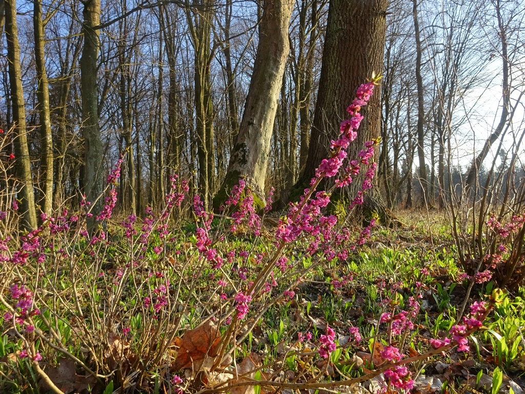
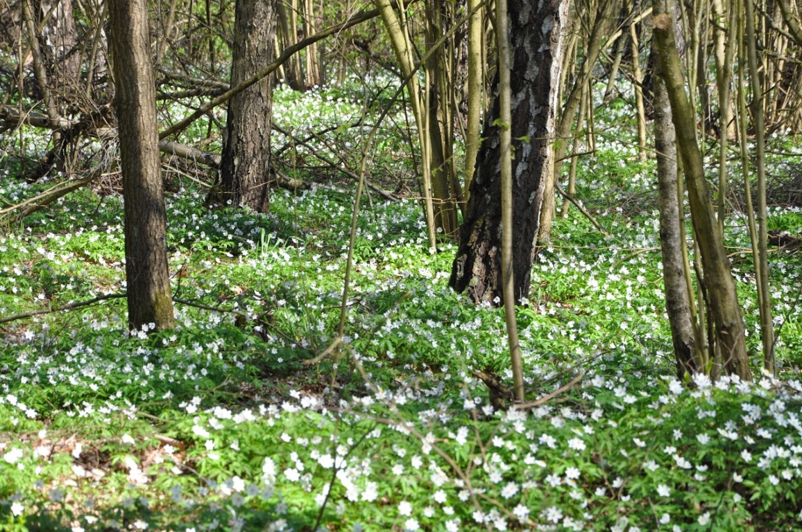
Kozienicki Landscape Park was created in 1983 in order to preserve large natural patches of Kozienicka Oldgrowth Forest with rich undergrowth and herbaceous layer as well as interesting terrain. After its enlargement in 2001 the Park streches over 26 233,83 hectares of forest. In order to protect the forest against edge effects, a buffor zone of 36 009,62 ha has been designated encompassing neighbouring woods and fields.
Kozienicki Landscape Park and its buffor zone lie in central-southern Mazovia in 11 municipalities: Garbatka-Letnisko, Głowaczów, Gózd, Jastrzębia, Jedlnia-Letnisko, Pionki, Policzna, Sieciechów, Kozienice and Zwoleń as well as 2 towns: Kozienice and Pionki.
The Park’s boundaries run along public and forest roads, rivers and ditches as well as forest boundaries, where state forests border upon private lands. The Park lies in Vistula’s Middle Course (Dolina Środkowej Wisły) and Kozienicka Plain (Równina Kozienicka) mesoregions which in turn lie within Central Mazovia Plains (Niziny Środkowomazowieckie) macroregion, Radomska Plain (Równina Radomska) mesoregion within Southern Mazovia Hills (Wzniesienia Południowomazowieckie) macroregion. According to the division of Poland into forest and natural provinces, the Park is located in two „countries”. Firstly – Lesser Poland Country (Kraina Małopolska) – Radomska-Iłżecka District, in Radomsko-Kozienicka mesoregion, Mazowiecko-Podlaska Country – Warszawsko-Kutnowska Plain (Równina Warszawsko-Kutnowska) district and Vistula’s Middle Course (Dolina Środkowej Wisły) mesoregion.
Morphologically, Kozienice Oldgrowth Forest lies in Middle Poland Plain (Nizina Środkowopolska), also called Radomska Plain (Równina Radomska ). The area is flat and its lowest parts are located in Vistula River Valley. Its altitude oscillates between 102,2-110m (along Radomka River) and 160 metres above sea level in Przytyk village. In its northern part, the Park is located at 120-130 metres above sea level. Occasional sand dunes rise up to 160 metres. The Park’s southern part lies at 150-170 metres above sea level and hills rise up to 180 metres (e.g. around Sucha village).
Geologically Kozienice Oldgrowth Forest is not very diverse. It is located on Lubelska Chalk Layer (Kreda Lubelska) and Świętokrzyskie Mountains Edge. The whole area of the forest is covered with Quaternary layers such as silt, fine and medium sands and gravel in riparian zones. Additionally, there are clayey and loamy soils which are from 12 up to 45 metres thick. Sands and gravels are 4 to 10 metres thick. Terciary soils occur mostly in the northern part of the Park on Lubelska Chalk Layer and are 200-300 metres thick.
Soil cover in Kozienice Oldgrowth Forest was shaped by underlying rocks, water management activities and plant cover. Bedrock in Kozienice is composed of Quarternary layers only – mostly glacial deposits, pleistocene clays and sands, gravels, and occasional layers of loam. In river valleys and depressions holocene formations occur: aluvial deposits and peat. A part of the area is covered by aeolian sand dunes. Soils of Kozienice forest are diverse; thirteen types have been confirmed to occur here, belonging to four soil orders.
Soils in the central part of the forest (Zagożdżon, Pionki and Southern Kozienice districts) are more fertile while those on forest edges (Garbatka, Jedlnia, Zwoleń and Northern Kozienice districts) are generally poorer. The reason for such soil distribution is the underlying bedrock.
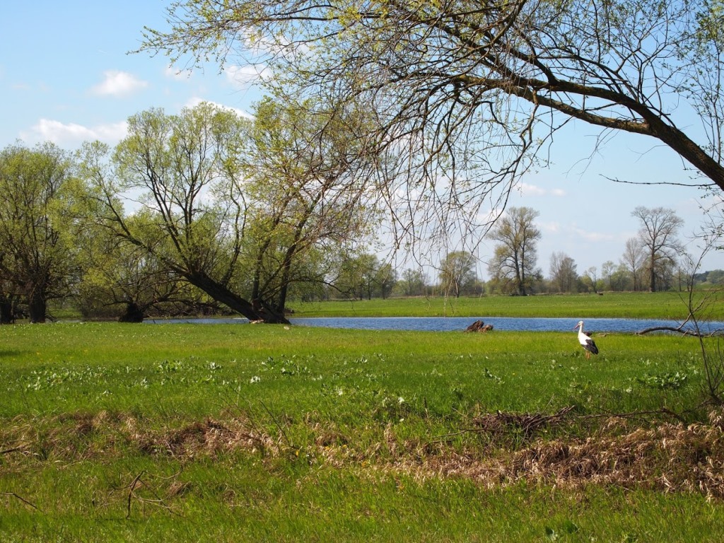
Kozienice Oldgrowth Forest lies in Radomka and Vistula drainage basins. The main river in the forest is Zagożdżonka, which starts south of Pionki town and flows through the centre of the forest. Main rivers are Radomka’s tributaries: Mleczna, Pacynka, Leniwa and Narutówka.
Main surface reservoires are fishponds near Bąkowiec, Grądy, Siczki and Pionki.
Kozienice Oldgrowth Forest belongs to Łódzko-Wieluński climatic region and very slightly to Mazowiecko-Podlaski climatic region, where the microclimate is shaped by Vistula River. Mean annual rainfall is 540-580 mm and average temperature oscillates around +7,6 ºC. Most winds blow from the West. There are around 30 frosty days per year and less than 100 days with ground frost. Snow cover lies here for 50-60 days per year.
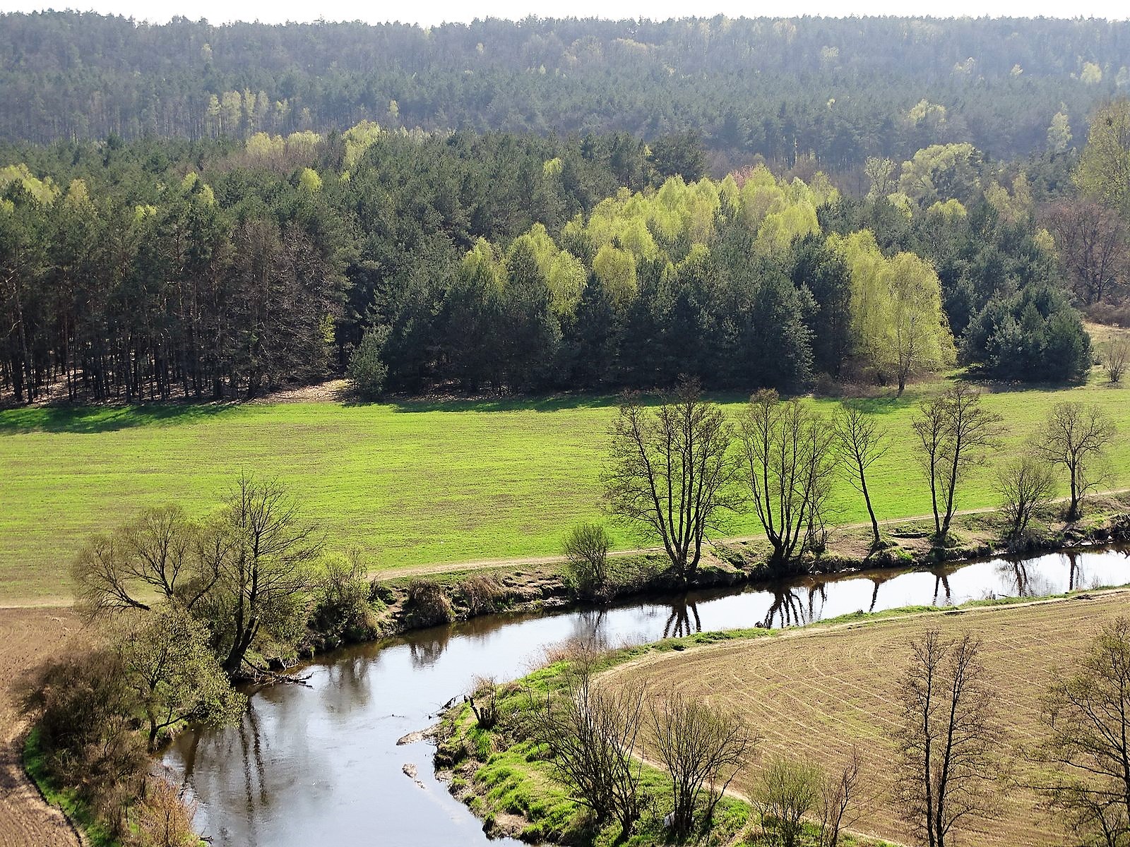
Kozienice Landscape Park lies 100 km south of Warsaw, in Mazovia County. Being located between Mazovia and former Lesser Poland County, as well as between Vistula and Radomka river valleys has created a topographically diverse landscape and rich flora and fauna. The post glacial plain is diversified by Radomka and Zagożdżon river valleys and sand dunes with swampy depressions inbetween them.
Most valuable and oldest (up to 200 year old) forest stands have been protected within nature reserves. There are 15 of them and they represent the most interesting plant communities. Together, nature reserves take up 1 267,92 hectares.
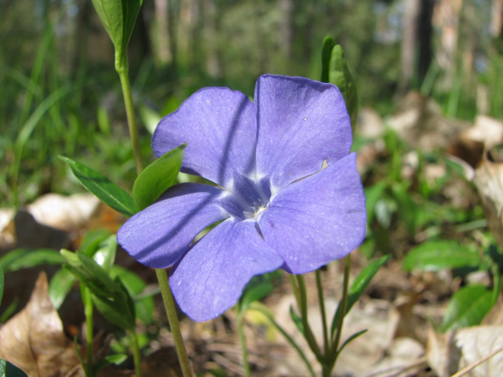
There are 261 nature monuments in the Park. These are mostly single trees, a linden-chestnut alley, 1 scrub, 1 rock and 3 stands of common ivy.
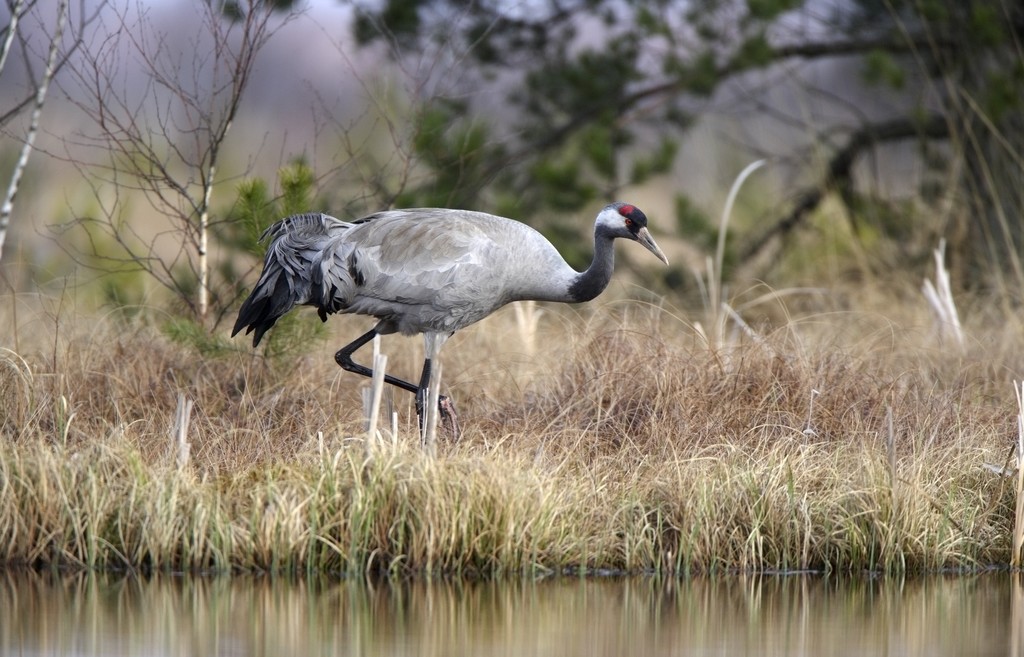
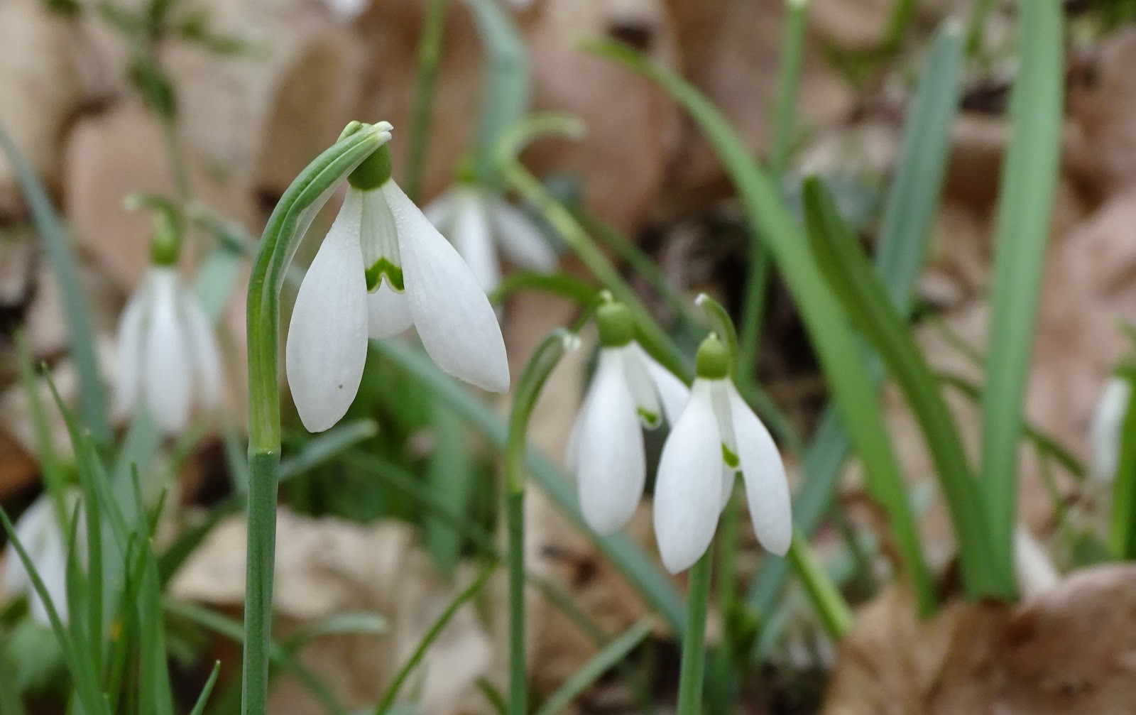
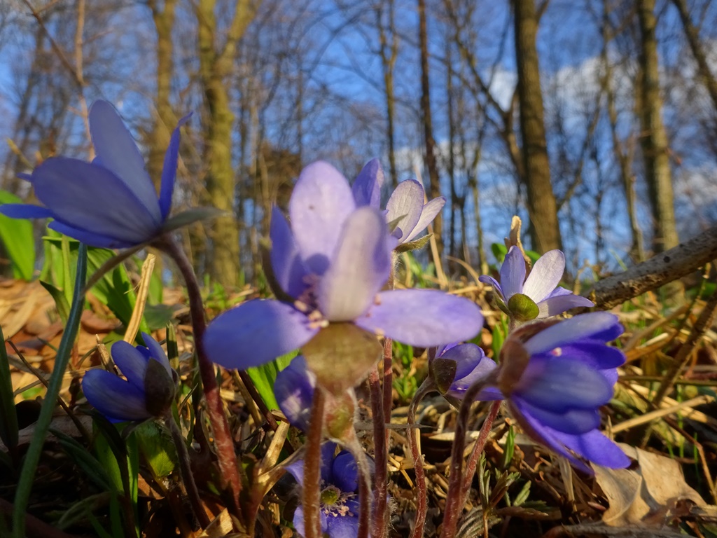
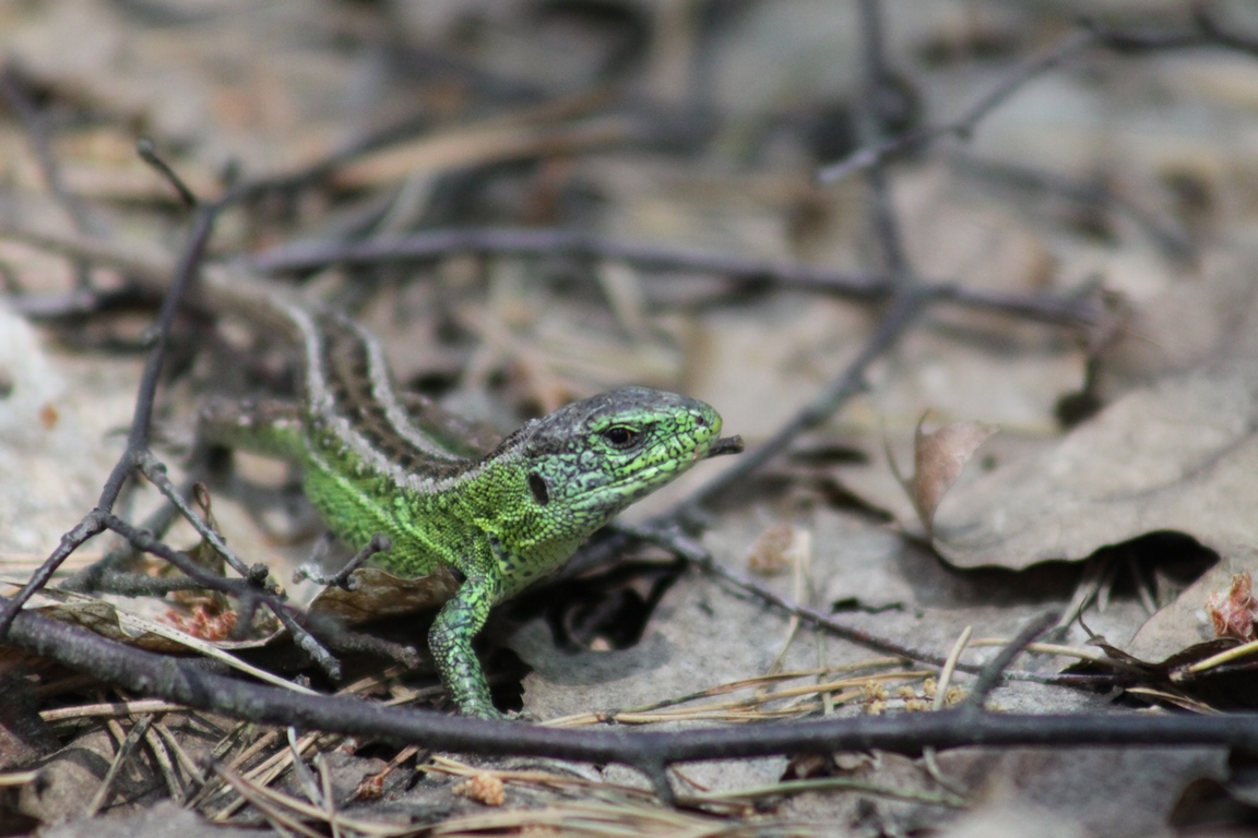
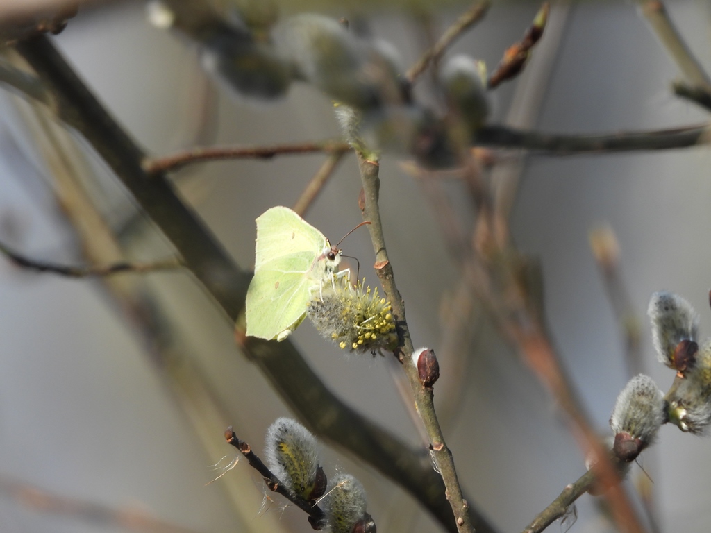
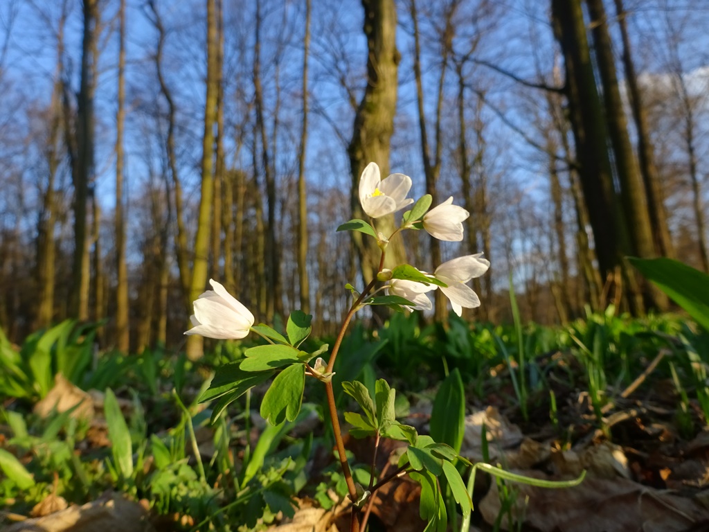
Two hundred and ninety seven macrofungi species have been recorded here, 233 lichens, 94 bryophytes and 630 vascular plant species belonging to 84 families and 294 genuses. Among them, 67 are protected species and 6 are listed in the Polish Red List of Plants. From the 218 bird species occuring in the Park (lesser spotted eagle, black stork, common crane and European roller among others), 10 are listed in the Polish Red List of Animals. Fifty four species of mammals live here, 29 of them protected. Seventeen species of bats occur in the Forest, including the parti-coloured bat, the northern bat, the whiskered bat, western barbastelle bat and the lesser noctule). Additionally, 13 species of amphibians, 6 species of reptiles (including the European pond turtle) and numerous invertebrates have been recorded here.
There are 92 „refuges” (in Polish „użytek ekologiczny” is a type of a small protected area, formally designated by the local municipality) in the Park and together they occupy the area of 300,67 hectares. They are forest swamps, small forest ponds and peatbogs. Didactically, the area is served by the nature museum in Augustów, annually visited by 8000 people. The museum has also got a small botanical garden and a field exhibition of forestry tools and equipment.
There are 25 historical monuments in the Park – churches, cemetaries, historical parks, palace complexes and agricultural buildings. Numerous crosses and wayside shrines have survived here. Nine marked tourist footpaths, also accessible to cyclists, cross the Park (totalling 186 kilometres). Nine more cycling paths (235 kilometres in length) are under construction/preparation. The paths are fitted with forest parking places and resting picnic places marked with adequate signs.
Tourists have 4 caravan parks and camping places at their service near Kozienice Landscape Park. Moreover, there are 3 hotels and 2 youth hostels, indoor swimming pools and guarded bathing areas designated in Jedlnia Letnisko, Garbatka Letnisko, Pionki and Kozienice. Many of the villages in Kozienice Landscape Park are famous for their climatic and recreational values – e.g. Garbatka Letnisko, Jedlnia Letnisko, Rajec and Augustów.
